
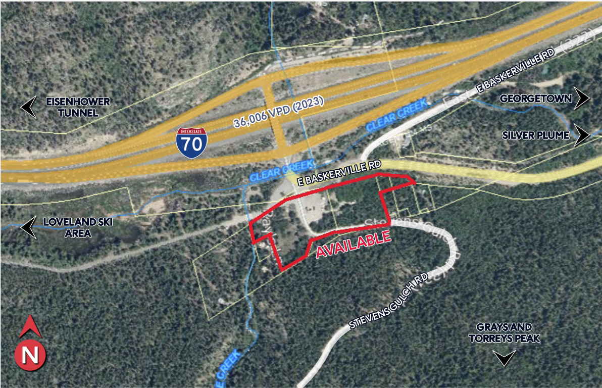
3.88 acres at the trailhead
Silver Plume, Colorado. I-70 Exit 221. The Grays & Torreys trailhead access point. Year-round access, excellent utilities, and zoned for hospitality development.
Location: I-70 Corridor, Central Colorado
Denver is 50 miles south via I-25 (55 min drive). The property sits directly at Exit 221 on I-70, in Clear Creek County. Immediate access to five ski resorts, four nearby 14ers, and year-round recreation on the eastern slope.
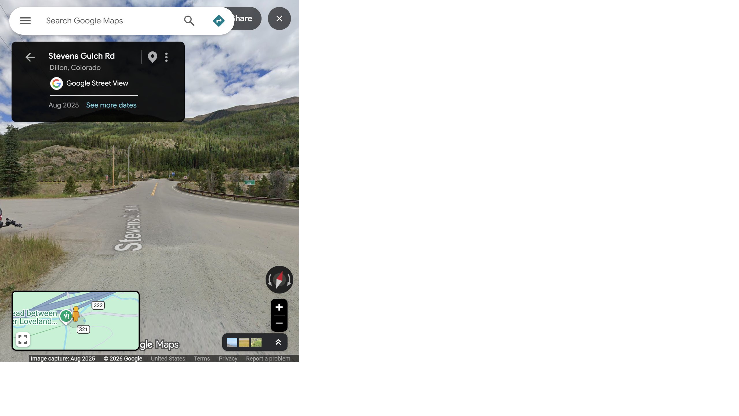
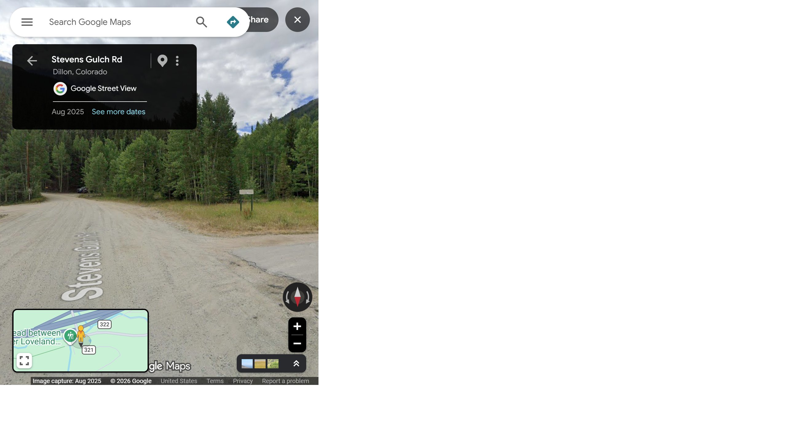
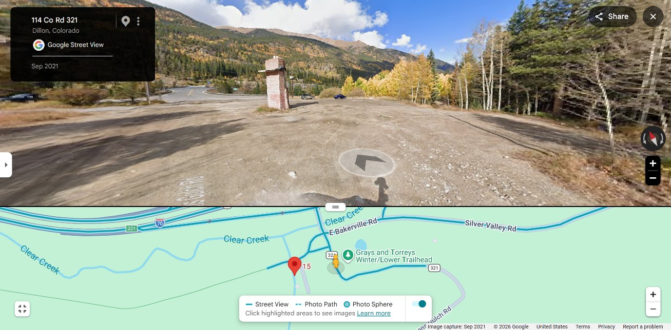
Street View & Site Access
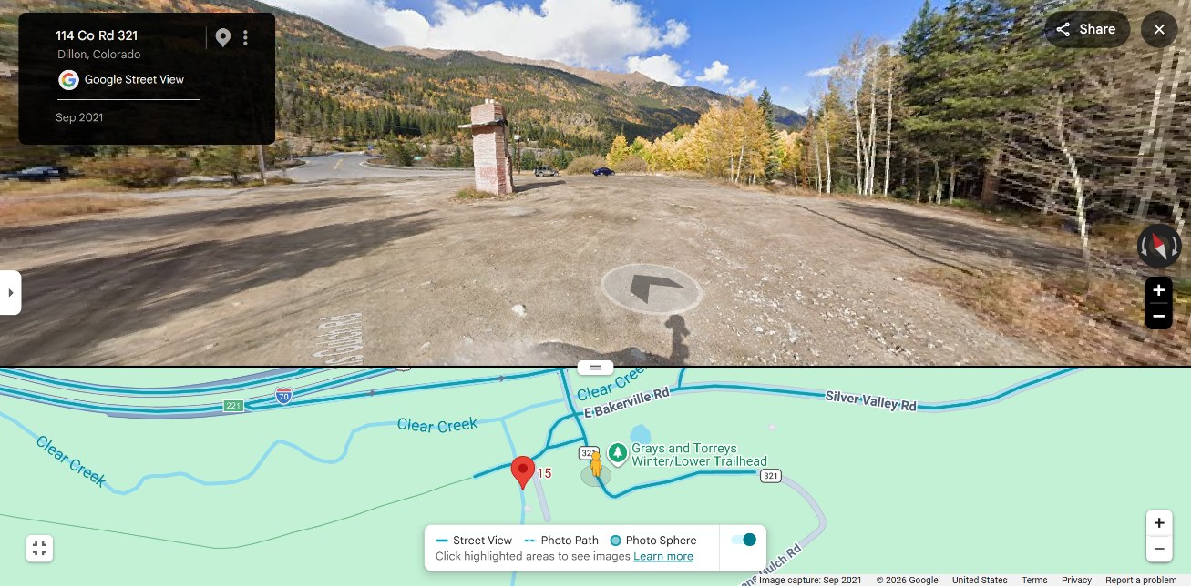
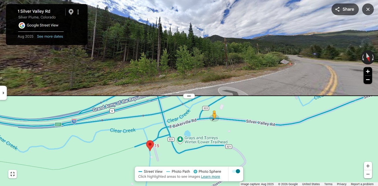
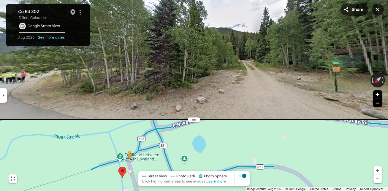
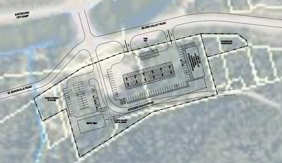
3.88 acres, ready for development
Physical Dimensions
| Total acreage | 3.88 acres |
| Buildable area | ~2.8 acres (60% development) |
| Topography | Gentle slope, well-drained |
| Elevation | ~10,550 ft |
| Tree coverage | Aspen & conifer mix |
Zoning & Approvals
| County | Clear Creek County, CO |
| Current zoning | MR-1 (Mountain Residential) |
| Use required | Conditional Use Permit (CUP) for campground/RV park, or rezone to C-TR |
| Density ceiling | 20 campsites per acre (Clear Creek standard) |
| P&B density | ~10.7 pods/acre (2.8 buildable acres); 47% of county ceiling |
| Development status | Pre-application consultation scheduled with Clear Creek County; conditional offer contingent on county approval |
Utilities & Site Work
Water
Clear Creek County water main runs along the north boundary. Well development option also viable; site has excellent groundwater potential at ~150 ft depth.
Sewer
No municipal sewer. Engineered septic system planned for 30–50 pod loads (0.5 gal/min per site). Soil percolation tests positive. Backup leach field capacity built in.
Power
Xcel Energy (Colorado utility) 3-phase service available 200 meters east. Budget: $40–60k for site work and trenching. Solar + battery backup planned for resilience.
Internet
Fiber optic backbone runs down I-70 corridor. Starlink + ground line redundancy for guest WiFi & ops.
Low-density mountain setting with trail access
North boundary: U.S. Forest Service land (Arapaho & Roosevelt National Forest). Year-round public recreation access. Zero commercial neighbors.
South (I-70): Highway corridor. Existing 50 dB baseline noise; natural tree buffer provides additional screening. HarmonyDomes' insulation package (double-wall shell + acoustic treatment) rated for highway-adjacent environments — noise well within acceptable limits for guest comfort. No light pollution spillover from neighboring development.
East & West: Sparse residential (1–2 homes per 5 acres). Georgetown lies 3 miles west (historic mining town, now arts & tourism). Silver Plume is unincorporated; county zoning applies.
Paved exit, one-way loop, trailhead flow
Exit 221 provides direct paved access. County Road 381 loops into the property, exiting back onto I-70 ~0.3 miles east. One-way circulation design separates arrival from departure traffic. Trailhead parking (25 spaces) integrates into the overall pad footprint.
USFS coordination: Back-of-property trailhead connection to Grays/Torreys requires USFS permit (standard for commercial recreation). Pre-application consultation underway with National Forest Service office in Idaho Springs.
$1,300,000 acquisition cost
| Item | Amount | Notes |
|---|---|---|
| Land purchase | $1,200,000 | 3.88 acres at ~$309k/acre (current asking price; may negotiate discount) |
| Closing costs & title | $60,000 | Title insurance, survey, legal |
| Due diligence | $40,000 | Phase I env, geotech, zoning review |
| Total acquisition | $1,300,000 | Asking price confirmed at $1.3M (3.88 acres @ ~$309k/acre). Funded by 25% founder equity ($1M) + 75% SBA 7(a) loan ($3M total project). Recommend pre-LOI negotiation targeting $1.05M–$1.1M purchase price for margin improvement. |
Timeline: Conditional offer pending pre-application sign-off from Clear Creek County (scheduled for 2026-Q3). Closing estimated 60–90 days after county approval.
The only trailhead property in the corridor
- Exclusive trailhead location: Grays & Torreys pull 11,889 vehicles/year. This is the only overnight lodging option at the trailhead. Repeat visitor rate: 40–60%.
- I-70 frontage: Direct highway exit for ski resorts (5–40 min away) with zero RV hookups in the winter corridor. Winter market is $70–100/night (vs. $50–65 summer).
- Utilities already in place: Water main, power infrastructure, county services. Site work is $80–120k, not $400k+.
- Density headroom: 30 pods at ~10.7/acre is well below Clear Creek's 20/acre county ceiling. Expansion to 55+ pods possible without rezoning, pending CUP approval.
- Forest proximity: Back-of-property access to U.S. Forest Service land creates the "basecamp" experience without owning/managing trail infrastructure.
- Low competition: No other eco-pod or van-life basecamp exists on the I-70 corridor between Denver and Breck.
County pre-application: Gating item for land acquisition
Schedule consultation with Clear Creek County Planning to confirm zoning path and density ceiling. Pending pre-app confirmation, prepare conditional LOI (60-day due diligence, 90-day close contingent on county approval). Parallel financing approval with SBA lender.